A hackathon aimed at supporting biodiversity and saving the bees will take place on the 25th of February in Insight at the University of Galway.
Participants will be challenged to build supervised machine learning models that can accurately classify land use in Argentina in the context of the Insight SFI Research Centre for Data Analytics’s project entitled “Supporting bee-friendly agriculture in Argentina” funded by the National Geographic Society. Participants will be building models to classify different agricultural land uses such as soybean, maize, and sunflower, as well as non-agricultural use including forest and natural, bare soil, and urban. All the participants will be provided with the same training dataset. The dataset will be pre-processed by the organizers and will contain the ground truth data together with the temporal satellite observations from the European Sentinel-2 observation mission.
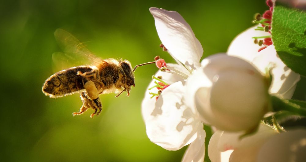
Biodiversity loss is being accelerated at unprecedented rates by unsustainable agricultural practices throughout the world. Despite worldwide clear evidence of the essential value of wild and managed bees for crop pollination, many agricultural practices can negatively impact on pollinator supply and pollination, threatening global food security.
New technologies and data sources such as remote sensing and deep learning can better inform more comprehensive pollinator conservation policies to mitigate these problems. The annual automatic creation of land use maps is a fundamental piece of information required to understand the temporal and spatial dynamics of the territory. The generation of these maps relies on the availability of ground truth data manually collected on-site. This data is then combined with satellite images taken at different times and used to train machine learning models able to predict land use in places where no ground truth data was collected, saving costs and allowing the analysis of large extensions of land.
Where and When?
The hackathon will take place from 11 am to 4 pm on Saturday, February 25th in Insight at the University of Galway (Dangan Business Park). A workshop will be held online during the previous week (date and time to be confirmed) for the participants to get familiarised with remote sensing data and the dataset provided.
All full/part-time third-level students across Ireland are invited to participate. Teams must have a minimum of three and a maximum of four members. No previous requirements are needed to participate, but a basic knowledge of machine learning algorithms and programming languages (such as Python or R) will be needed to build the solution. But hurry- there are a limited amount of spaces available for what promises to be a very exciting and popular hackathon! Remember to bring your laptop on the day if you have successfully registered.
Prizes
• €1000 awarded to the winning team
• €600 awarded to the second team
• 2 x €300 awarded to third and fourth teams
You can find out more details and register for the hackathon here.