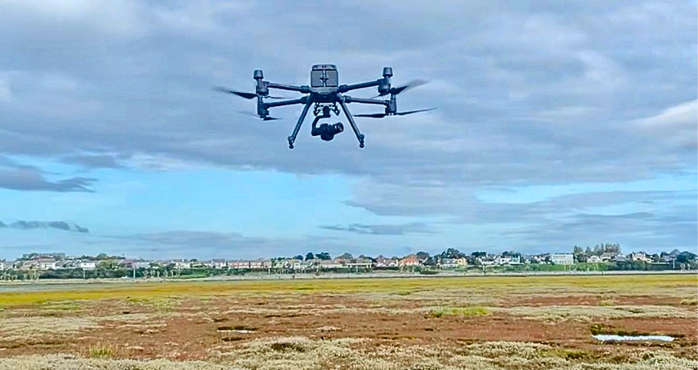
Coastal dunes are considered some of the most threatened and vulnerable habitats in the European Union. Mapping the spatial distribution of these habitats is an essential task for their conservation. Advances in Unoccupied Aerial Vehicles (UAVs) facilitate the gathering of high-resolution imagery for identifying detailed spatial distributions of habitats within dune systems. John Connolly, Kevin McGuinness, Charmaine Cruz and the iHabimap team are assessing the effectiveness of UAV remote sensing for mapping these habitat types. The methodology developed as part of this project is robust and could be used for monitoring other habitat types. The team is applying this methodology to mapping other habitat types, such as grassland and upland.
They use deep learning techniques on UAV imagery to improve the mapping of invasive species Spartina anglica invading saltmarsh habitats. The use of high-resolution UAV imagery has the potential for early detection of invasive species expansion in a range of threatened ecosystems.
The team is currently exploring the use of high-resolution satellite imagery for mapping habitat types over larger spatial extents.
Read the abstract here
https://bit.ly/43EpuIn