Crowd4Access is an extraordinary citizen science initiative that aims to make our streets more accessible to all. Insight EPE manager Brendan Smith writes:
Smart technologies have been a powerful instrument of change in the modern era and one that has transformed people’s way of life allowing those with different types of disabilities to enjoy full independent lives. The hand-held web-based device has enabled us to travel more easily by providing informative maps on routes, amenities and their locations.
This is especially beneficial in an increasingly urbanised planet where we live in a highly populated very busy and often chaotic built environment.
The COVID lockdown though was a reality check for our fast moving lifestyle. The need to move away from a long distant car centric transport infrastructure was one that gained momentum as a result of the severe restrictions imposed on personal movement and urban dwellers began to think of more people-centric 15 minute cities.
But the lockdown also exposed the shortcomings in an urban connectivity that undermined the quality of life for large sections of our populations.
It shone the spotlight for instance on the problems that so many have in navigating their neighbourhoods and the wider city.
The cities of the last one hundred years have been built around the needs of motorised vehicle users and online travel maps reflect this. Whilst streets are mapped in minute detail, features such as tactile pavement, bollards and phone booths on footpaths, which can impede pedestrian movement, rarely appear.
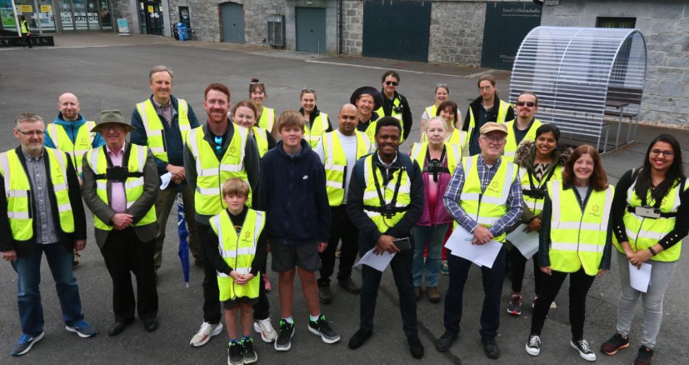
Through a citizen science crowdsourcing project from the Insight SFI Research Centre for Data Analytics, the University of Galway community is one of a number of local communities nationwide that are presently seeking to address this deficiency through collaborative action on mapping the accessibility of footpaths in their localities, and in making this information publicly available using free open-sourced software. Known as Crowd4Access it represents a partnership between citizens and professional data science researchers to map footpath accessibility and to empower people with the information necessary to influence policy makers in order to make changes to secure Accessibility for All.
Crowd4Access recognises that all of us have or will have challenges when navigating the footpaths of an urban area. The wheelchair user and the parent pushing a buggy may need access ramps, the runner may need an even surface, whereas the blind may need tactile pavement.
University of Galway staff and student volunteers are taking part in a series of online workshops and on-site mapping sessions to learn about how these different peoples use footpaths in different ways and how to capture and share footpath accessibility data. The mapping is done through the use of a street-level imagery app platform that captures images which are then used to enrich free open editable global maps with the addition of relevant features onto footpaths, buildings and roadways. Initially the data collected has to be identified and tagged onto the maps manually by volunteers, a necessary process but one that is very time consuming. This though is where machine learning comes in, specifically in the form of image analysis. Using the data collected to build up a critical mass, machine learning algorithms will be trained to automatically identify the different elements of footpaths such as bollards, street trees and the different types of pedestrian crossings.