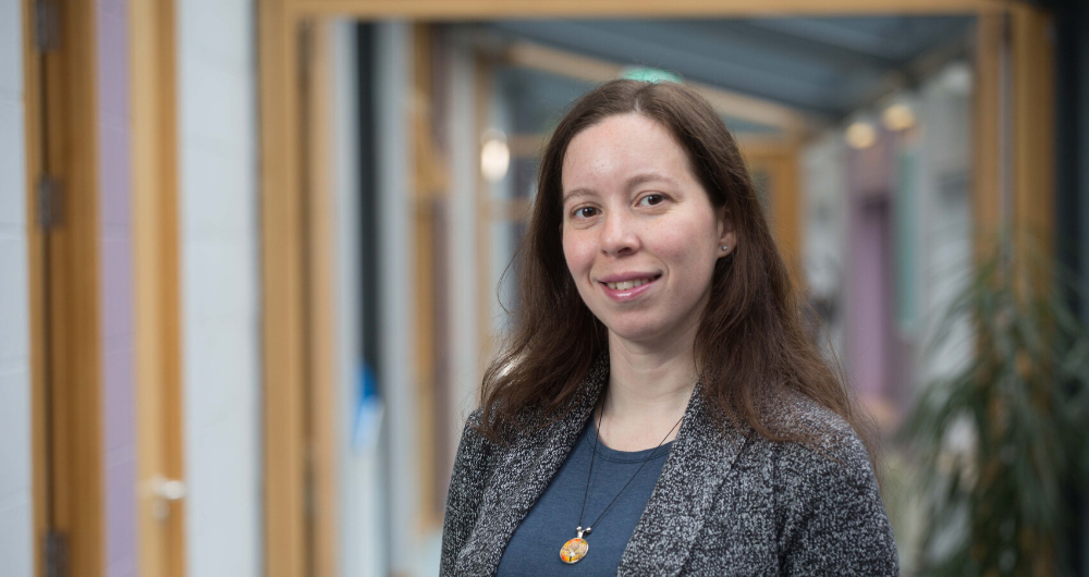
When you plot a route on an open street map on your phone, it tells you the best way to get there by car, public transport, on a bike or on foot. Imagine if it could also tell you the best route with a guide dog, in a wheelchair, or with a cane? Crowd4Access is an Insight Citizen Science project that aims to provide access information to city users, provided by other city users, via interactive maps. Bianca Pereira is its lead author in Galway, and she is working with Venkatesh Gurram in Insight DCU. The project will recruit citizen science researchers from Galway, Cork and Dublin.
As the project gets going and she talks to Insight News about where Crowd4Acces came from, and where it’s headed.
Where did you get the idea for Crowd4Access?
The idea for this project came to me after watching Galway Politics Live with Insight’s own Niall O’Broilchain (Watch here)
This particular episode covered disability in Galway and one of the contributors, a guide dog user, outlined the challenges she faces getting around the city. A city counsellor on the panel highlighted the installation of ramps and other resources. However, it was pointed out that these features were not always suitable or well-placed for all users of the city.
It gave me the idea that we should bring city users of all abilities right the heart of research into city accessibility. It also prompted me to ask: How can technology support in making cities accessible to all? My observation from the situation presented was that it is a “data” problem. The objective is to use technology to empower citizens and society.
What makes this project a ‘Citizen Science’ project?
People who travel with a guide dog will experience access differently than people who use a cane, for example. There is a wide range of viewpoints required to provide rich data. I wanted to find a way to bring people into the process of researching a more accessible city, to direct the research rather than just provide data. That’s my idea of Citizen Science.
If you’re going to design a real Citizen Science research project, it’s not enough to take a predesigned project to your citizen group. You have to consult at the design stage, to make sure that your project has potential value for the community it’s aimed at, and that it is heading in the right direction. I consulted with local disability groups first and designed the Crowd4Access project in consultation with citizens.
Throughput the process we need citizens to actively direct the work. That’s one of the challenging and exciting aspects of the citizen science model.
What will Crowd4Access research look like?
Crowd4Access will enable city users to feed data about the city into a central open source database, via an app, that will in turn be translated into usable information for maps or other resources that anyone can use.
The project has three phases; we are currently in Phase 1.
1 Experience sharing workshops – what would citizen participants like to see on a map? Ramp inclination? Trees? Uneven surfaces?
2. Feasibility study – what features identified in the workshops can actually be described on a map? How would we present them?
3. Mapping workshops – sessions to teach people how to map elements as they go around the city, either by taking photos and submitting them to an open source mapping app (www.mapillary.com) or inputting info from a desktop (https://www.openstreetmap.org/)
Who will benefit from Crowd4Access?
Initially, city users in Galway, Cork and Dublin. In the longer term, we hope that other towns and cities across Ireland and beyond will use the resources we have developed to map their locales for accessibility as well. We hope that users of mapping technology in the future will have a much better sense of where they can comfortably and safely travel in every city and town. We also hope that local governments, companies and city planners will able to use the resource to improve access in a way that is really meaningful for all citizens.
Stay tuned for more updates on the Crowd4Access Citizen Science initiative here on Insight News

